Sollihøgda, Norway – July 25, 2021, 1:08 AM local time, cameras belonging to the Norwegian Meteor Network, detected a meteor, travelling southwest near Oslo and ending above Tyrifjorden (Lake Tyri), in a forested mountain region of Norway, called Buskerud.
This was a relatively large event, and it is likely that meteorite fragments reached the ground. Refer to the sections below for details and maps, which you can download to Google Earth.
Several videos of the event were captured from various locations across Southern Ontario. NASA cameras also captured this event on a network of calibrated cameras, which were used to calculate the trajectory (NASA videos not shown here).
https://youtu.be/lud7SlrJY7g
Video from Oslo
https://www.youtube.com/watch?v=WjhoSnIjMFc
Video from a house at Bøleråsen
Video
Search Efforts
The the fall zone is mostly forested, but there are clearings that could provide good ground for searching. It is unknow
If you would like to search for for meteorites from this or future events in this region, please join the Facebook group:
A trajectory has been estimated by the Norsk Meteornettverk, using video data from at least six calibrated cameras in their network, so the data quality should be very good. This data was processed using the StrewnLAB software, to predict a search area. Please download and review the Google Earth files below for detailed maps of the search area.
Another search area has also been calculated and posted on the Norsk meteornettverk Facebook page, and it agrees closely with the Strewnify map, although it it limited to a smaller area. This could be due to modeling a smaller mass range and/or more precise estimation of fragmentation events.
The meteor was heading southwest, so the largest fragments will be in that direction
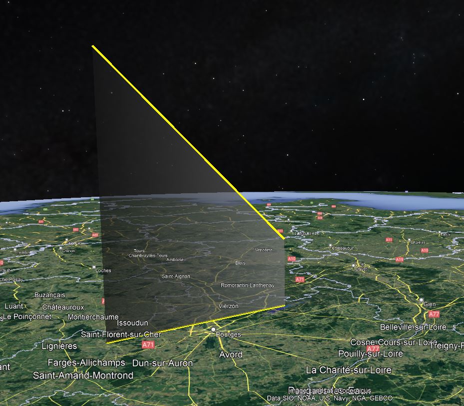
closeup 3D view of the endpoint
Possible search areas near Kårevannet
Possible search areas near Damtjern
Possible search areas near the shore of Tyrifjorden
Weather Data
The weather data below is sourced from weather balloons, and publicly available via NOAA’s Integrated Global Radiosonde Archive (IGRA). This data is downloaded and post-processed by the StrewnLAB algorithm, to account for changing weather patterns and weather balloon drift. The plots have altitude on the y-axis, in kilometers above sea level. The wind speed below 10km has large effect on the drift of meteorites.
There was very little wind at the time of the event, so meteorite drift should be minimal
The author and founder of Strewnify.com, an automotive controls engineer, with a passion for physics.
Hancock, Michigan, USA | james.a.goodall@gmail.com | +1 586 709 5888
Like our content? Take a second to Join Team Strewnify on Patreon!