Tierra del Fuego, Chile – April 21, 2022, 7:15 PM local time, U.S. Government Sensors detected an atmospheric impact at the southern tip of South America, equivalent to 130 tonnes of TNT. There would have been a large fireball, and it is very likely that meteorites survived. However, only 10% of the fall zone is land, the rest is water.
The area of the fall zone is very remote, more than 50 kilometers past the end Ruta 3, the southernmost paved road on Earth. If you go searching for meteorites here, you are going to need a ship. Refer to the sections below for details and search maps, which you can download to Google Earth.
No known search efforts are planned, due to the remote location. The fall zone is spread across a few small rocky islands, with maybe 10 square kilometers of searchable terrain. Isla Pasaje and the southeast side of Isla Duperre would be highly desirable to search.
Image of nearby Peninsula Hardy, Image Credit: Paula Giraudi
If you would like to plan a search expedition to Tierra del Fuego, be sure to let us know! We’d love to hear the story.
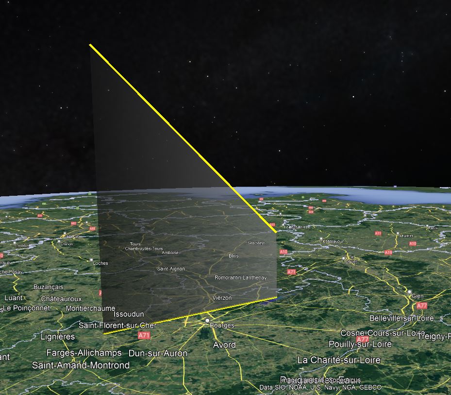
Due to the remote area, the only Trajectory data available came from the U.S. Dept of Defense sensor network. This data is usually accurate, but not very precise. The raw data and assumed error has been run through the StrewnLAB software to predict a search area. Please download and review the Google Earth files below for detailed maps of the search area.
The weather data below is sourced from weather balloons, and publicly available via NOAA’s Integrated Global Radiosonde Archive (IGRA). This data is downloaded and post-processed by the StrewnLAB algorithm, to account for changing weather patterns and weather balloon drift. The plots have altitude on the y-axis, in kilometers above sea level. The wind speed below 10km has large effect on the drift of meteorites.
Light winds from the west, would have caused minor drift
The author and founder of Strewnify.com, an automotive controls engineer, with a passion for physics.
Hancock, Michigan, USA | james.a.goodall@gmail.com | +1 586 709 5888
Like our content? Take a second to Join Team Strewnify on Patreon!