


Sebzeciler, Turkey

Sebzeciler, TURKEY – May 27, 2020, 8:30 PM local time, U.S. Government sensors detected a large meteor fireball, travelling SSW at 15 km/s, before burning out over a mountainous area in Artvin province. Total atmospheric impact energy was equivalent to 180 tonnes of TNT!
The meteor entered the atmosphere at a very steep, nearly vertical angle, and ended in huge fireball at approximately 29 km altitude. Some speculated that the material could be of cometary origin, due to the quick flash and no visible fragmentation. However, at such a steep angle, the deceleration of any material would be very fast, resulting in rapid ablation and a fast and bright flash. It is still possible there are meteorites on the ground. Good luck and happy hunting!
| Date/Time: | 05/27/2020 17:30:18 UTC |
| Location: | 100 km south of Batumi |
| Reference Coordinates: | 40.8°N 41.7°E |
| Reference Altitude: | 29.3 km above sea level |
| Energy / Mass Estimate: | 0.180kt / 6800kg |
| Reference Speed: | 14.9 km/s |
| Bearing: | 209.3° SSW |
| Slope: | 11.6° from vertical |
| Event Links: | CNEOS |
Video and News
Many local cameras captured the meteor, but not all footage is publicly available. This was obviously a large meteor, with a quick bright flash, caused by a steep angle of entry.
Search Efforts & Research Paper
A team from Ege University, under the leadership of Dr. Ozan Ünsalan performed four searches of the area (June-August 2020), but no finds were reported. The data analysis and methods were documented in a conference paper, ANALYSIS OF THE BRIGHT FIREBALL OVER TURKEY ON MAY 27, 2020, for the 84th Annual Meeting of The Meteoritical Society, 2021. I was excited for this paper, as it was my first co-authorship on a scientific paper! Special thanks to Dr. Ünsalan for allowing me to participate in this effort.
If you are interested in joining the search, please visit the groups below, on Discord or Facebook, which could be used to coordinate public meteorite search efforts in the area:

StrewnLAB Search Area
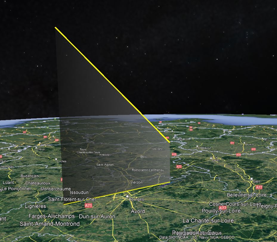
An initial strewn field search area has been generated for this event, by the StrewnLAB algorithm, but the precision of the available data from CNEOS is low. This map shows the most likely area to search for meteorites, in the yellow map squares. Please download the KMZ file below and load it into Google Earth.

Weather Data
The weather data below is sourced from weather balloons, and spublicly available via NOAA’s Integrated Global Radiosonde Archive (IGRA). This data is downloaded and post-processed by the StrewnLAB algorithm, to account for changing weather patterns and weather balloon drift. The plots have altitude on the y-axis, in kilometers above sea level. The wind speed below 10km has large effect on the drift of meteorites.


The author and founder of Strewnify.com, an automotive controls engineer, with a passion for physics.
Hancock, Michigan, USA | james.a.goodall@gmail.com | +1 586 709 5888


